🧑💻 Geographic information systems (GIS)

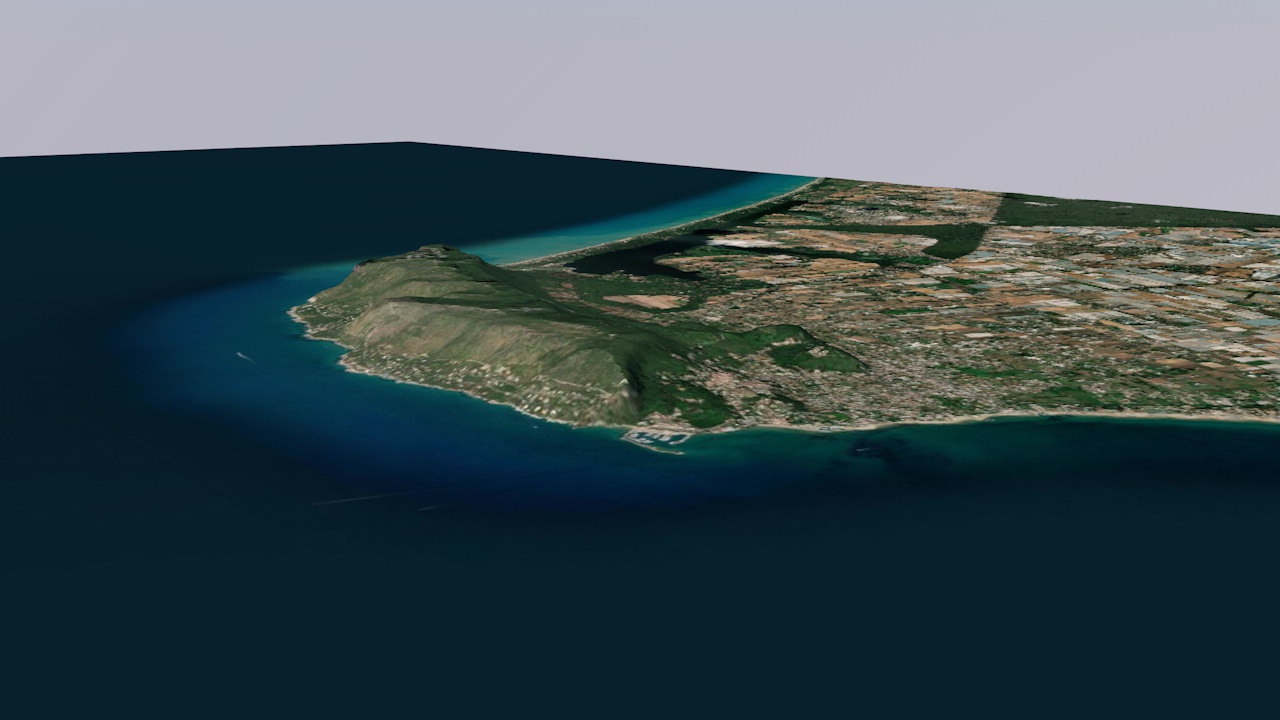
A Geographic Information System (GIS) is essentially a database that can store, manage, analyse, manipulate, output and visualise geographic data. In archaeology it is often used to create sophisticated maps or to analyse geographical data, such as which paths are easiest to take or what can be seen from a particular point. Importantly, GIS works in 3D and can therefore do much more than a simple map.
Archaeology is rich in spatial information and has been using GIS since its inception in the 1990s. It is used for survey, excavation, analysis and much more. While the first steps in GIS can be overwhelming, after a while it becomes an important tool. By learning certain methods, you can gain an insight into the world of GIS.
👨🍳 Preparations

Installing GIS software
There is a lot of software to choose from, some open source and free, some with a licence and lots of features. Whatever software you choose, the first step is always to install it...
📖 Estimated reading time: 1 minute
| Date/Version | OS | Software | Version | Link |
|---|---|---|---|---|
| 2024-03-19 | 🪟 Windows, 🐧 Linux & 🍎 Mac | QGIS | 3.34 Prizren | Go to lesson! |
🛠️ Individual Manuals

GeoTIFF to DEM
One thing I often come across is that I download a GeoTIFF from somewhere and want to have a 3D model. Cinema 4D cannot read a GeoTIFF, but it can read a DEM, so we need a conversion...
📖 Estimated reading time: 5 minutes
| Date/Version | OS | Software | Version | Link |
|---|---|---|---|---|
| 2024-03-19 | 🪟 Windows, 🐧 Linux & 🍎 Mac | QGIS | 3.34 Prizren | Go to lesson! |
